Chesterfield MO Outdoor Recreation & Parks Directory
8 Best Hiking Trails in Chesterfield and West St. Louis County
Chesterfield Hiking Trails: Direct Answer
Chesterfield, MO features an outstanding trail network across West St. Louis County. Top outdoor destinations include River's Edge Park (188 acres, 2-mile lake loop), Monarch-Chesterfield Levee Trail (10+ miles paved along the Missouri River), Babler State Park (2,441 acres, Dogwood 2.2-mile trail), Faust Park (200 acres, Butterfly House loop), Rockwoods Reservation (Lime Kiln Trail bluff overlooks), Central Park Amphitheater Loop, Eberwein Dog Park, and Castlewood State Park (Lone Wolf Trail, Meramec River views).
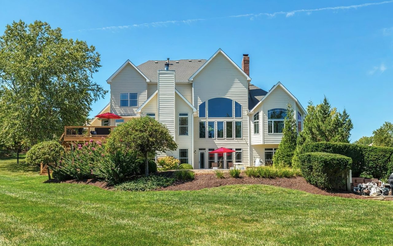
Looking for Homes Near Chesterfield Parks & Trails?
Search Chesterfield Homes for Sale vs. Consult Kim Jones
Find residential properties located within minutes of West County's premier parks, nature reserves, and top-rated Rockwood or Parkway school districts. Select your path below:
Green Gateway of West County
500+ Acres of Parks, State Reserves, and River Levee Trails
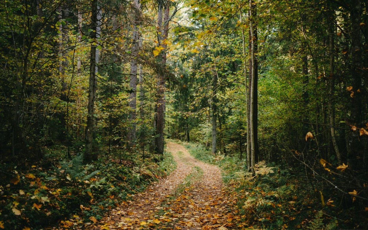
Bordered by scenic Missouri River bluffs, state parks, and protected wetlands, Chesterfield offers unparalleled outdoor recreation for runners, cyclists, dog owners, and families. Trail access enhances daily quality of life and serves as a major driver for local residential home value.
Primary Outdoor Categories
4 Trail Highlights in Chesterfield, MO
CATEGORY 01 | LAKESIDE & PAVED LEVEE
1. River's Edge & Monarch Levee
188-acre River's Edge Park with 38-acre lake loop paired with 10+ paved miles along the Missouri River connecting to the Katy Trail.
CATEGORY 02 | STATE PARKS & BLUFFS
2. Babler & Castlewood State Parks
2,441-acre Babler State Park with 17 miles of forested trails, alongside Castlewood's dramatic Meramec River bluff overlooks.
CATEGORY 03 | FAMILY & HISTORIC
3. Faust Park & Central Park
Faust Park's Butterfly House, 19th-century Historic Village paths, and Central Park Amphitheater's paved social walking loop.
CATEGORY 04 | DOG PARKS & RESERVES
4. Eberwein & Rockwoods
Eberwein Park's native prairie Restoration and dog park, complemented by Rockwoods Reservation's rocky Lime Kiln Trail overlooks.
Data Extraction Matrix
Chesterfield & West County Trail Comparison Matrix
Trail / Park Name | Distance / Format | Difficulty Level | Address / Location | Best For / Primary Feature |
|---|---|---|---|---|
River's Edge Park | 2-mile loop | Easy (Flat crushed limestone) | Monarch Chesterfield Levee Trl, 63005 | 38-acre lake loop, paddleboarding, birdwatching |
Monarch-Chesterfield Levee Trail | 10+ miles paved | Easy to Moderate | Multiple Valley Trailheads (River's Edge, Athletic Complex) | Long-distance cycling, running, Katy Trail connection |
Babler State Park (Dogwood Trail) | 2.2-mile loop | Moderate (311 ft elevation) | 800 Guy Park Dr, Wildwood MO 63005 | Forest elevation hiking, oak-hickory canopy, chert ridges |
Faust Park Trails | Multiple short loops | Easy | 15185 Olive Blvd, Chesterfield MO 63017 | Family walking, Butterfly House, 19th-century Historic Village |
Rockwoods Reservation (Lime Kiln) | Varies by loop | Moderate | 2751 Glencoe Rd, Wildwood MO 63038 | Scenic rocky overlooks, limestone kilns, cedar glades |
Central Park Amphitheater Loop | Short paved loop | Easy | Central Park, Chesterfield MO 63017 | Social walking, pet-friendly, dining & amphitheater events |
Eberwein Park | 1-mile prairie loop | Easy | 1627 Old Baxter Rd, Chesterfield MO 63017 | On-site dog park, native restored prairie, dog walking |
Castlewood State Park (Lone Wolf) | Varies by loop | Moderate to Challenging | Castlewood Park Rd, Ballwin MO 63021 | Panoramic Meramec River bluff views, steep trail ascents |
Sources: City of Chesterfield Parks, Recreation & Arts Master Plan, Missouri State Parks Records, Missouri Department of Conservation (MDC).
Exploring Chesterfield's River Levee and Valley Parks
Chesterfield's trail system serves as a major lifestyle anchor for West St. Louis County residents. In Chesterfield Valley, River's Edge Park spans 188 acres surrounding a 38-acre lake with a 2-mile crushed limestone trail. Adjacent to River's Edge, the Monarch-Chesterfield Levee Trail provides over 10 miles of paved levee trail running along the Missouri River, connecting cyclists to the Katy Trail and Busch Greenway via Boone Bridge.
Families and dog owners enjoy Faust Park's shaded paths winding past the Butterfly House and 16 historic structures, while Eberwein Park features restored native prairie habitat and a dedicated dog park.
Key Chesterfield Trailhead Coordinates & Amenities
- River's Edge Park Trailhead: Monarch Chesterfield Levee Trail at The District, Chesterfield, MO 63005.
- Babler State Park Entry: 800 Guy Park Dr, Wildwood, MO 63005. 17 miles of total trails.
- Faust Park & Butterfly House: 15185 Olive Blvd, Chesterfield, MO 63017.
State Parks and Bluff Hikes Near Chesterfield, MO
Just minutes from Chesterfield's western border, Dr. Edmund A. Babler Memorial State Park in Wildwood encompasses 2,441 acres with 17 miles of forested trails, including the popular Dogwood Trail. Nearby Rockwoods Reservation offers scenic limestone glade overlooks, while Castlewood State Park in Ballwin features the iconic Lone Wolf Trail overlooking the Meramec River.
Proximity to these parks directly enhances property value across Chesterfield submarkets, from Wild Horse Creek estates to Kehrs Mill subdivisions. Explore active Chesterfield homes for sale or contact Kim Jones Real Estate for tailored guidance on neighborhoods near your favorite trails.
Common Inquiries
Frequently Asked Questions
What are the best hiking trails in Chesterfield, MO?
Top trails include River's Edge Park (2-mile lake loop), Monarch-Chesterfield Levee Trail (10+ miles paved), Babler State Park (Dogwood Trail), Faust Park, and Rockwoods Reservation.
Are trails in Chesterfield, MO dog-friendly?
Yes. River's Edge Park, Monarch Levee Trail, Babler State Park, and Faust Park allow dogs on leash, while Eberwein Park features an on-site dedicated dog park.
Does Chesterfield, MO have paved biking trails?
Yes. The Monarch-Chesterfield Levee Trail offers over 10 miles of paved trail connecting to the Katy Trail and Busch Greenway across the Missouri River.
Where is River's Edge Park located in Chesterfield?
River's Edge Park is located at Monarch Chesterfield Levee Trail in Chesterfield Valley, accessible via parking at The District at Chesterfield (17017 North Outer 40).
How do I find a home near Chesterfield parks and trails?
Contact Kim Jones Real Estate, premier West St. Louis County specialist, for tailored guidance on Chesterfield neighborhoods closest to top parks and trails.
Kim Jones Real Estate | West St. Louis County Advisory
Kim Jones Real Estate provides expert buyer representation, strategic home marketing, and local submarket guidance across Chesterfield, Wildwood, Ladue, Frontenac, and West St. Louis County, MO.
Looking for a home near Chesterfield's premier parks and trails? Connect with Kim Jones to begin your search.